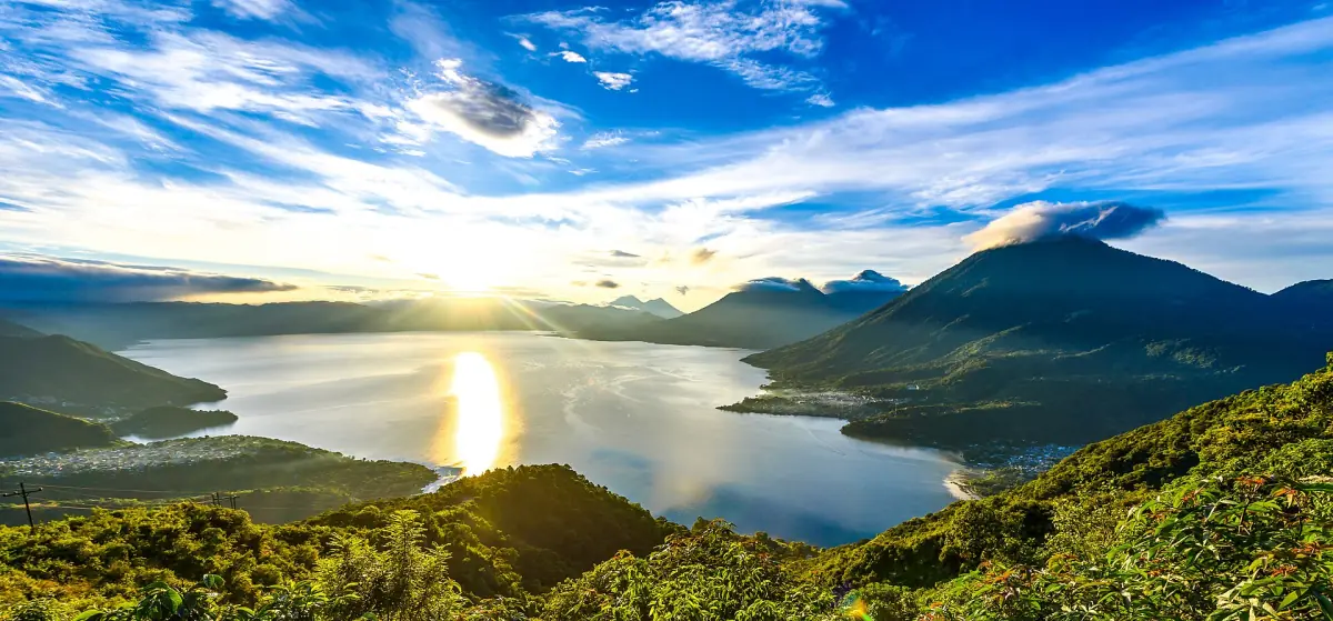
Lake Atitlán weather in short
The tourism information describes November to April as the drier part of the year. The US State Department describes May to October as the stronger rainy season and lists tropical storm and hurricane risks from June to November. Rain can bring floods and landslides. These are national descriptions of the seasons, not a daily forecast for each village on the lake.
Drier does not mean rain-free, and it does not guarantee a clear view of the volcanoes. Mornings and evenings, wind and cloud cover can differ from one day to the next, so build a margin into any plan that depends on a view.
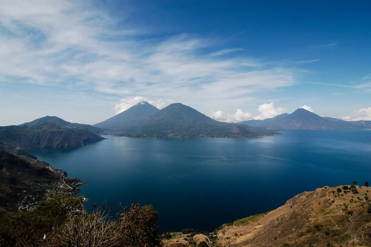
The seasons compared
What each period means for a visit.
| Period | What the sources say | What to plan for |
|---|---|---|
| November to April | Drier season (official tourism information) | Better odds for hikes and sunrise views, no guarantee of clear skies |
| May to October | Stronger rainy season (US State Department) | Rain protection, slower roads, extra time for connections |
| June to November | Tropical storm and hurricane risk (US State Department) | Check national weather warnings before you travel |
The next section shows a few real rainfall figures from 2026, with their limits.
Rainfall in 2026: three published months
Provisional monthly totals from the national weather service INSIVUMEH.
| Month 2026 | Rainfall | Days with data |
|---|---|---|
| May | 44.7 mm | 31 |
| June | 159.2 mm | 30 |
| July | 56.5 mm | 31 |
These are totals from one year. They are not long-term averages and not a forecast. They show how uneven rain can be inside the rainy season, with June far wetter than the months on either side. INSIVUMEH also runs a weather station at Santiago Atitlán with provisional current readings. Values from one station do not describe every village on a lake with steep shores.
Lake Atitlán tours and day trips
Boat trips, hikes and village visits around the lake, with live prices and availability.
Wind, boats and the lake
Weather matters most on the water.
Wind and waves
The official tourism page describes unpredictable wind and waves and possible schedule changes. Strong gusts are known locally as Xocomil, but do not rely on a rule that the wind starts at a fixed hour. Ask at the pier for the last boat of your day, and do not plan a tight connection on the water.
An example from January 2026
A boat capsized near Santa Cruz on 27 January 2026, and two tourists from Panama died. Their authorities pointed to strong gusts. A single proven cause has not been established. Wear a life jacket, follow the captain and stay seated if there are problems. A morning departure is no guarantee of calm water.
Santa Cruz La Laguna →Public boat times
The published operating hours are 6:00 a.m. to 5:30 p.m. from San Juan to Panajachel and 7:00 a.m. to 7:00 p.m. from Panajachel to San Juan, about every 20 minutes. Another report gives a last boat from Panajachel at 7:30 p.m. and from San Pedro at 5:30 p.m. These figures differ, so confirm on the day.
Getting there →Hikes, views and rain
Plan around the morning and the season.
Sunrise hikes
Rostro Maya, the Indian Nose, is a sunrise viewpoint at about 2,200 m. Cloud can hide the view in any month. Choose a flexible day, and have a second day free if you can.
Indian Nose guide →Volcano hikes
Rain makes steep trails harder and increases the risk of slides. The German Foreign Office also recommends volcano visits with the police or licensed guides. Do not hike alone, and postpone if the guides advise it.
San Pedro volcano →Roads and slides
Heavy rain can cause floods and landslides. The usual road access runs along the Interamerican highway CA-1 with a turnoff toward Sololá and Panajachel. Allow extra time in the rainy season. If your trip also includes Antigua, the Antigua weather guide covers that side of the journey.
Swimming and water quality
An orange cyanobacteria warning was issued on 26 May 2026, with the advice to avoid recreation in the water. That is a dated example, not today's status. Water conditions can change from week to week, so check current reports and ask locals before you swim.
Plan the rest of your trip
Pages that depend on the season.
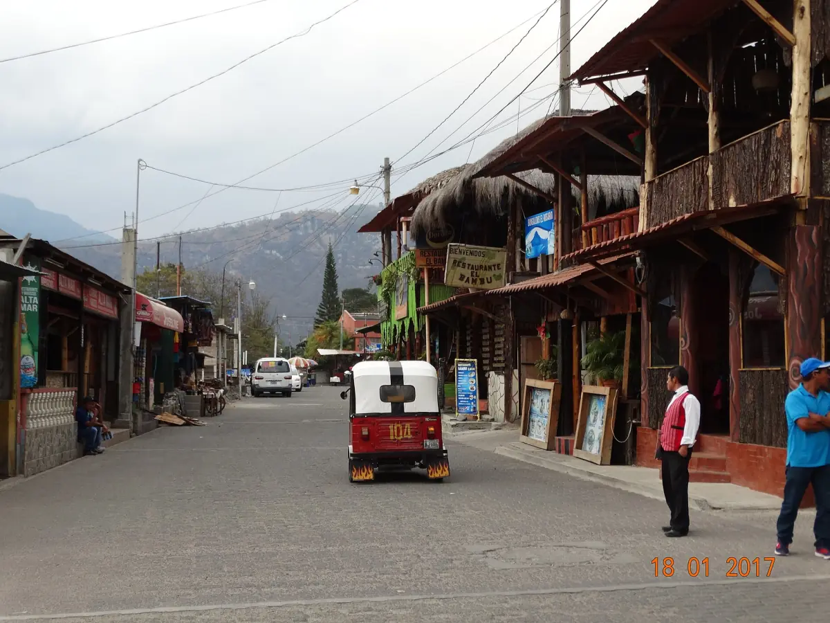
Things to do at Lake Atitlán
Twelve experiences, rain or shine.
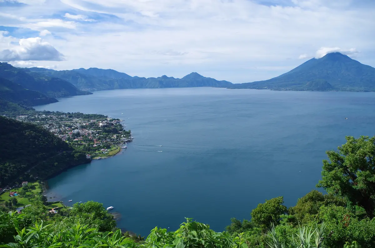
Where to stay
Which village suits which plan.
Tours compared
Boats, hikes and classes with dated prices.
Safety advice for the whole country is collected in the Antigua safety guide.
Lake Atitlán weather: frequently asked questions
What is the best time to visit Lake Atitlán?
The official tourism information describes November to April as the drier season, so many visitors aim for those months. Drier does not mean rain-free, and the volcano views are never guaranteed.
When is the rainy season at Lake Atitlán?
The US State Department describes May to October as the stronger rainy season and lists tropical storm and hurricane risks from June to November. In 2026, published monthly totals were 44.7 mm in May, 159.2 mm in June and 56.5 mm in July.
Is the lake worth visiting in the rainy season?
Yes, with a flexible plan. Rain protection, extra time for connections and a spare day for sunrise views help. Roads and trails can be affected by floods and landslides.
Is the lake windy?
The official tourism page describes unpredictable wind and waves with possible changes to boat schedules. Ask at the pier for the last boat of the day, and wear a life jacket.
Can I swim in Lake Atitlán?
Ask locally and check current reports first. A cyanobacteria warning on 26 May 2026 advised against recreation in the water. That date is only an example, and conditions change.
Where do I find current weather data?
The national weather service INSIVUMEH publishes readings, including a station at Santiago Atitlán, and marks its current data as provisional. Use a forecast for your dates as well.